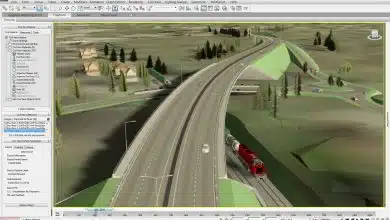
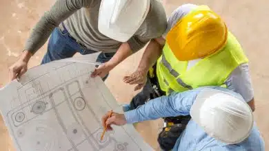
Surveying plays a crucial role in the field of civil engineering, serving as the foundation for all construction projects. It involves the measurement, mapping, and analysis of land, buildings, and other physical features. In this article, we will delve into the world of surveying, exploring its various techniques, tools, and applications in civil engineering.
Surveying in Civil Engineering
Understanding Surveying
Surveying is the process of measuring and mapping the Earth’s surface and collecting data to create accurate representations of the physical environment. It encompasses various activities, including measuring distances, angles, elevations, and positions. Civil engineers rely on surveying to plan and design construction projects, monitor structural integrity, and ensure compliance with regulations.
Importance of Surveying
Accurate surveying is essential for several reasons in civil engineering:
- Project Planning: Surveying provides vital information about the site, such as topography, existing structures, and utilities. This data helps engineers make informed decisions during the planning phase.
- Construction Layout: Surveyors mark the precise locations for structures, roads, and utilities on the ground, ensuring that construction activities align with the design plans.
- Quality Control: Surveying aids in monitoring construction progress and verifying that the project adheres to specifications, preventing costly errors and ensuring safety.
- Land Development: Surveyors assess the feasibility of land development projects, considering factors like grading, drainage, and zoning regulations.
Surveying Techniques
Surveyors employ various techniques to gather accurate data. Some common surveying techniques include:
- Total Station Surveying: Total stations integrate electronic theodolites and distance measurement instruments. They enable surveyors to measure angles and distances with high precision.
- Global Navigation Satellite System (GNSS): GNSS receivers, such as GPS (Global Positioning System), use signals from satellites to determine precise positions on Earth. This technology revolutionized surveying by providing accurate geospatial data.
- Leveling: Leveling involves measuring height differences between points to establish accurate elevations. It is crucial for designing drainage systems, road profiles, and building foundations.
- Remote Sensing: Remote sensing utilizes aerial or satellite imagery to gather data about large areas quickly. It aids in mapping, land cover classification, and identifying potential hazards.
Surveying Instruments
Various surveying instruments assist in data collection and measurement. Some commonly used instruments are:
| Instrument | Purpose |
|---|---|
| Total Station | Measure angles, distances, and elevations |
| Theodolite | Measure angles and vertical/horizontal alignment |
| GPS receiver | Determine precise positions using satellite signals |
| Level | Measure height differences and establish elevations |
| Tape Measure | Measure distances manually |
Applications of Surveying in Civil Engineering
Surveying finds wide applications in civil engineering projects, including:
- Topographic Mapping: Surveying helps create accurate topographic maps, which depict the natural and man-made features of a site. These maps aid in project planning, environmental assessments, and land development.
- Construction Stakeout: Surveyors mark the positions of proposed structures and infrastructure on the ground, ensuring accurate implementation of design plans during construction.
- Boundary Determination: Surveying determines property boundaries, resolving potential disputes and providing legal descriptions for land ownership.
- Geotechnical Investigations: Surveyors collect data on soil composition and characteristics, helping engineers understand the ground conditions and design appropriate foundations for structures.
- Monitoring and Deformation Analysis: Surveying is vital for monitoring structures over time, detecting any movements or deformations that may compromise their integrity.
Conclusion
Surveying plays a fundamental role in civil engineering, providing critical data and insights that enable successful project planning, design, and construction. By employing various techniques and utilizing advanced instruments, surveyors accurately measure and map the Earth’s surface, ensuring that engineers have the necessary information to make informed decisions.
From topographic mapping to construction stakeout and boundary determination, surveying has diverse applications in civil engineering. It facilitates the creation of detailed topographic maps, guides the positioning of structures during construction, resolves property boundary disputes, and assists in geotechnical investigations. Moreover, surveying plays a crucial role in monitoring structures for movements or deformations, ensuring their long-term stability and safety.
The advancements in surveying technology, such as total stations and GPS receivers, have revolutionized the field, enhancing accuracy and efficiency. These tools enable surveyors to gather precise measurements and position data, reducing human error and expediting data collection processes.
In conclusion, surveying is an indispensable aspect of civil engineering. It provides the foundation for successful project planning, design, and construction by offering accurate measurements, mapping data, and geospatial information. As technology continues to advance, surveying techniques and instruments will further improve, enabling engineers to carry out their work with increased precision and effectiveness. By harnessing the power of surveying, civil engineers can create sustainable and robust infrastructure that meets the needs of society while ensuring the safety and integrity of the built environment.


